UN
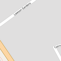
14 Lawson Gardens
£ 177,000
Description
We don't have a Description for this property.
- Bedrooms
- 2
- Bathrooms
- 0

Leaflet © OpenStreetMap contributors
The heatmap indicates the level of crime in the area. The color of the heatmap indicates the crime severity and recency.
Metrics Year-on-Year
- Average area value
- 869,722.00 £Increased by 64.54 %
- Average area rental value
- 1,599.00 £/moDecreased by 40.13 %
- Est rental Yield
- 2.21 %Decreased by 63.53 %
- Crime Rate
- 5.00 %Unchanged by 0.00 %
from 528,583.00 £
from 2,671.00 £/mo
from 6.06 %
from 5.00 %
Nearby Schools
| Name | Type | Ofsted | Distance |
|---|---|---|---|
| Holy Trinity Church Of England Primary School, Dartford | Voluntary Aided School | Good | 0.47 KM |
| Our Lady'S Catholic Primary School, Dartford | Voluntary Aided School | Good | 0.72 KM |
| Dartford Grammar School | Academy Converter | 1.04 KM | |
| Westgate Primary School | Academy Sponsor Led | Good | 1.11 KM |
| West Hill Primary Academy | Academy Converter | Good | 1.12 KM |
Images
Nearby Streets
| Name | Average Price | Average Sqft | Distance |
|---|---|---|---|
| Riverside Wharf | £ 325,000 | 0 | 0.00 KM |
| Victoria Industrial Park | £ 400,000 | 0 | 0.00 KM |
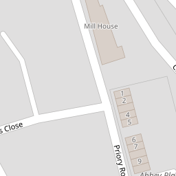
| Priory Road | £ 0 | 0 | 0.00 KM |
| Zion Cottages | £ 0 | 0 | 0.00 KM |
| West Hill Rise | £ 307,500 | 0 | 0.00 KM |
Nearby Transport
| Name | NLC | TLC | Distance |
|---|---|---|---|
| Dartford | 5101 | DFD | 1.15 KM |
| Slade Green | 5154 | SGR | 2.76 KM |
| Crayford | 5100 | CRY | 3.54 KM |
| Purfleet | 7453 | PFL | 4.25 KM |
| Erith | 5104 | ERH | 5.05 KM |
Nearby Listings
| Address | Price | Type | Score | Distance |
|---|---|---|---|---|
| Lawson Gardens, Dartford | £ 425,000 | BUY | Unknown | 0.05 KM |
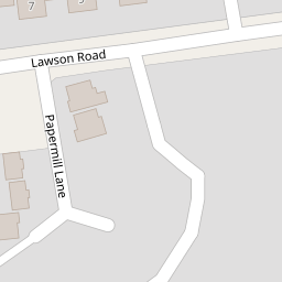
| Paper Mill Lane, Dartford, Kent, DA1 | £ 550,000 | BUY | 6 / 10 | 0.05 KM |
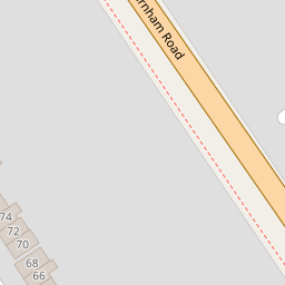
| Burnham Road, Dartford, Kent | £ 425,000 | BUY | 6 / 10 | 0.11 KM |
| Burnham Road, Dartford | £ 450,000 | BUY | 7 / 10 | 0.18 KM |
| Mayfair Road, Dartford, Kent, DA1 | £ 375,000 | BUY | 6 / 10 | 0.18 KM |
Nearby Properties
| Address | Price | Distance |
|---|---|---|
| 17 Lawson Gardens | £ 425,000 | 0.00 KM |
| 6 Lawson Gardens | £ 245,000 | 0.00 KM |
| 2 Lawson Gardens | £ 250,000 | 0.00 KM |
| 5 Lawson Gardens | £ 356,000 | 0.00 KM |
| 14 Lawson Gardens | £ 177,000 | 0.00 KM |